Seaton Wetlands

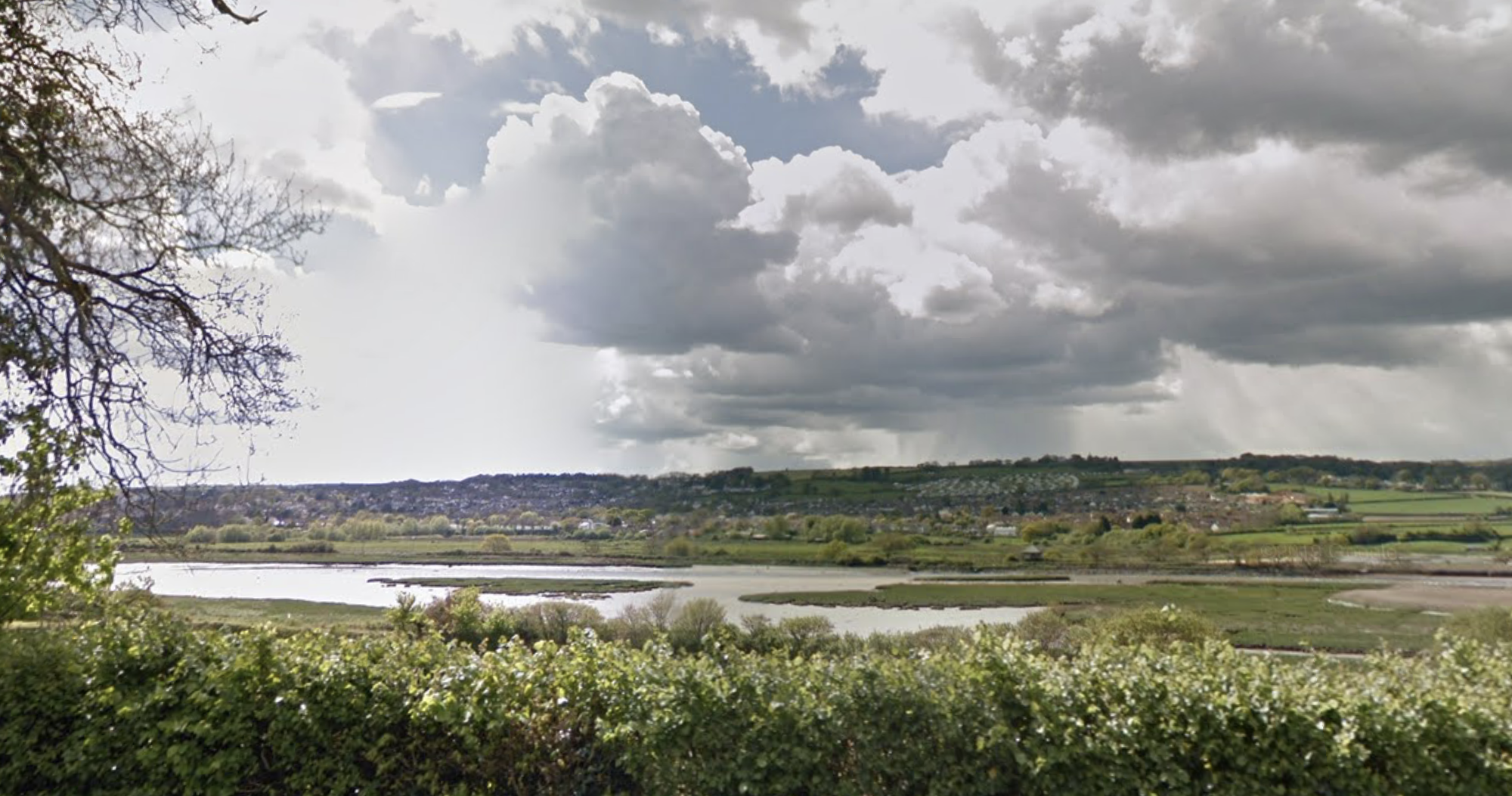
Seaton Wetlands is made up of four main sites – Seaton Marshes, Black Hole Marsh, Colyford Common and Stafford Marsh Enjoy beautiful marshland and reedbeds alongside the River Axe with five bird hides and nearly 4km of level trails and boardwalks suitable for wheelchair, bike and pushchairs. A countryside haven, home to an abundance of wildlife. Seaton Wetlands is 6 miles west of Lyme Regis and 8 miles east of Sidmouth, between Colyford and Seaton.

Seaton Marshes

A freshwater grazing marsh, with scrapes, ditches, the Borrow Pit Pond and a bird hide. The area attracts considerable wildlife interest, from wildfowl and wading birds in the winter to dragonflies and butterflies in the summer. Otters have been spotted at the Borrow Pit Pond! The site is managed by the Countryside team on behalf of Axe Vale and District Conservation Society.

This part of the reserve is accessible for wheelchairs and pushchairs.

Black Hole Marsh, Colyford Common and Stafford Marsh

Directions to the main car park: In the middle of Colyford village on the A3052 take the Seaton Road, signposted Axe Vale Static Caravan Park. After half a mile turn left into Seaton Cemetery, continue through to the Seaton Wetlands car park. The nearest postcode is EX12 2SP.

Black Hole Marsh

Panoramic 360 degree views over the intertidal lagoon and estuary. Look out for wading birds, ducks and kingfishers. Remember to wave to the tram as it passes!

Following planning approval, the Countryside team created a saline lagoon on what was previously a drained agricultural field, with little wildlife interest. Islands were created on a large shallow scrape. The Environment Agency worked with a local engineering company to devise an innovative self-regulating tidal exchange gate, allowing water of just the right salinity to enter the lagoon.

It attracts breeding oystercatchers and now well populated with crustaceans and molluscs that support a wide range of wildfowl and waders. Birds to be seen regularly include Dunlin, Black tailed godwit and Ringed plover.

Colyford Common

Walk to the peaceful bird hide and viewing platform and discover a circular route around the reedbeds.

Is regularly flooded by high tides, so this salt-marsh has very unusual flora and fauna, supporting many locally rare and nationally important species. Little egrets fish in the creeks and lagoons on the estuary and large black and white shelduck can be seen grazing here. Wheatears flit across the common, and there is evidence of water vole in the reedbed close to the village.

The Colyford Common bird hide offers fantastic views across the upper reaches of the estuary and surrounding saltmarsh. There is also a viewing platform further north which gives great views of waders such as Curlew in winter.

Stafford Marsh

Explore the wildlife garden and enjoy a picnic in the heart of the wetlands. Find out more about the site, hire pond dipping equipment and grab a coffee in the Discovery Hut. Open Saturday to Monday, 10am to 4pm. Site toilets located here.

Discovery Hut

The Discovery Hut is staffed by volunteers Saturday to Monday, 10am to 4pm. When the hut is open you can find out more about the Wetlands, hire pond-dipping equipment and purchase drinks and snacks (ice creams, biscuits and cereal bars). Contact the Countryside team to check opening hours before your visit or to arrange additional opening for a group visit.

Next door to the Discovery Hut are toilets (including an accessible toilet and baby changing which are always open.

The Lookout

The Lookout is an information hub on the main path as you enter the wetlands from the car park. This is often manned by a Countryside member of staff during the week. It is currently under development and will become a key source of information for your visit.

Directions

Continue past Seaton cemetery and take the left turn immediately after Seaton Football Club into Hillymead. Pass Axe Vale Static Caravan Park entrance on your left and park in the spaces opposite the water treatment plant. The nearest postcode is EX12 2DF. This part of the reserve can be easily accessed from Seaton via foot, using the footpath by the Underfleet play park.

There is no path between Seaton Marshes and the main site. To travel between the two you will need to use the Seaton – Colyford Road (via car or foot) approximately 0.6miles.

Car parking is available through Seaton Cemetery. Park here to access Black Hole Marsh, Colyford Common and Stafford Marsh. The nearest postcode is EX12 2SP.

A smaller parking area is available through Hillymead at the entrance to Seaton Marshes. The nearest postcode is EX12 2DF.

Best time to visit

You will see different birds during your visit depending on the time of year. Check the white board at the Discovery Hut and Lookout to see what other visitors have already spotted. Seaton Wetlands is open 24 hours a day, 365 days a year. There is no charge to visit but donations for car parking, visiting and refreshments are welcomed.

Facilities

Car park, toilets (accessible and baby changing), picnic area, 5 hides, 3 pond dipping platforms, Discovery hut, pond dipping equipment for hire and refreshments available at weekends, classroom available for hire, Education ranger services.

Wheelchair and pushchair friendly paths. Cycling welcome on most of site.

No dogs (except assistance dogs).
East Devon Way

A walker’s guide to the East Devon Way

Planning your walking itinerary couldn’t be easier, use the map to help you find local hidden gems to suit all group sizes, tastes and budgets. Find perfect country pubs or a tranquil garden to enjoy a real Devon cream tea.

Explore this 40 mile walking route between Exmouth and Lyme Regis. Follow it through the heart of the East Devon Area of Outstanding Natural Beauty. It links to the South West Coast Path, the Jurassic Coast World Heritage Site and the Exe Estuary.

The nearest part of the East Devon Way is the route is Colyton to Lyme Regis.

This is a lovely long day walk, taking in three rivers, an iron-age castle, an impressive viaduct and ending in the bustling Dorset seaside town of Lyme Regis.
Starting in Colyton; an ancient market town has shops, pubs and tea rooms, the walk crosses the wide Axe Valley, up-hill to Musbury Castle, with a short detour to be king of the castle a fine place for views and a great spot for a picnic, down rural lanes leading to Uplyme and on to the attractive seaside town of Lyme Regis on the Jurassic Coast.

The route links footpaths, bridleways and country lanes to create an inland route. It is split up into day walks from 4 – 9 miles long and enjoy the delightful countryside which includes hills, woods, rivers and commons and lovely Devon villages which you may well drive right past if you were in your car.

Download the full guide here:

Click to Download guide

We hope you enjoy walking along this route and experiencing all that East Devon has to offer.

Trinity Hill

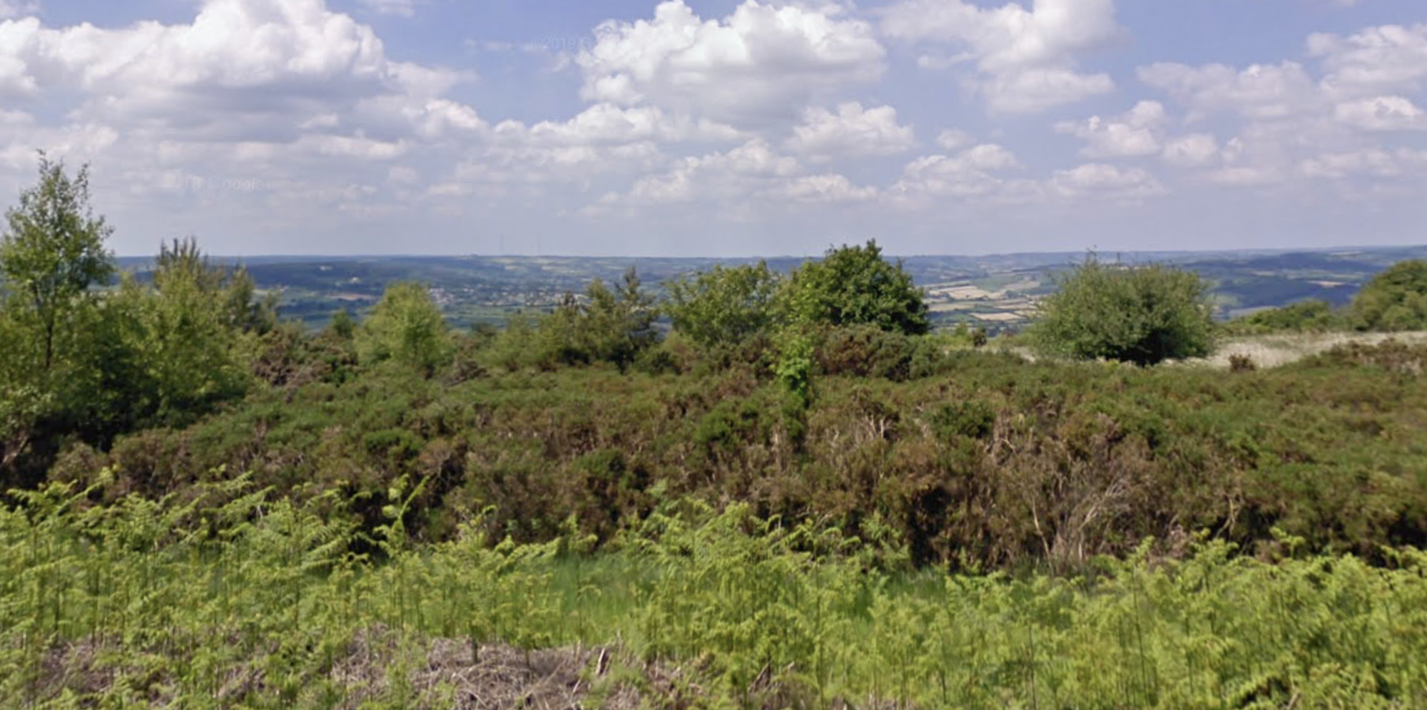
From the carpark, a network of footpaths allows easy exploration of this beautiful nature reserve which extends either side of Trinity Hill Road. Heathers that form a wash of colour in late summer dominate the flora. These heathers are the daytime home of a huge number of moths, such as the lover’s knot and the drinker. Bare sandy areas that quickly warm in the sun support animals that require warmth, such as the common lizard. There is also a rich birdlife, including breeding nightjar. Linnets, whose numbers are declining nationally, are doing well here and can be heard singing from tall bushes on the reserve.

GETTING AROUND
By bike: Two miles from Axminster (take care crossing the busy A35).
On foot: A footpath and minor roads link to the East Devon Way, approximately 2km to the south.
By car: From Axminster take the A35 towards Lyme Regis. Just before Raymonds Hill turn right along Trinity Hill Road. There is a car park for the reserve on the left, after 1km.

FACILITIES
Car parking available in the centre of the local nature reserve.

TERRAIN
Rough footpaths and heathland. A path runs around the perimeter of the site (can be muddy in wet weather). It is not suitable for wheelchair users. Walking time: 2 hours 20 minutes Length: 7.2km/4.5mi

WALK
Walkout over the metal step gate and walk along the path, south-east, until it comes to a T junction. Turn right, south and follow this track until it reaches a forestry road. Continue along the road until it reached a T junction and turn left, south-east, and continue along the forestry track until you come to a track leading off to the right.

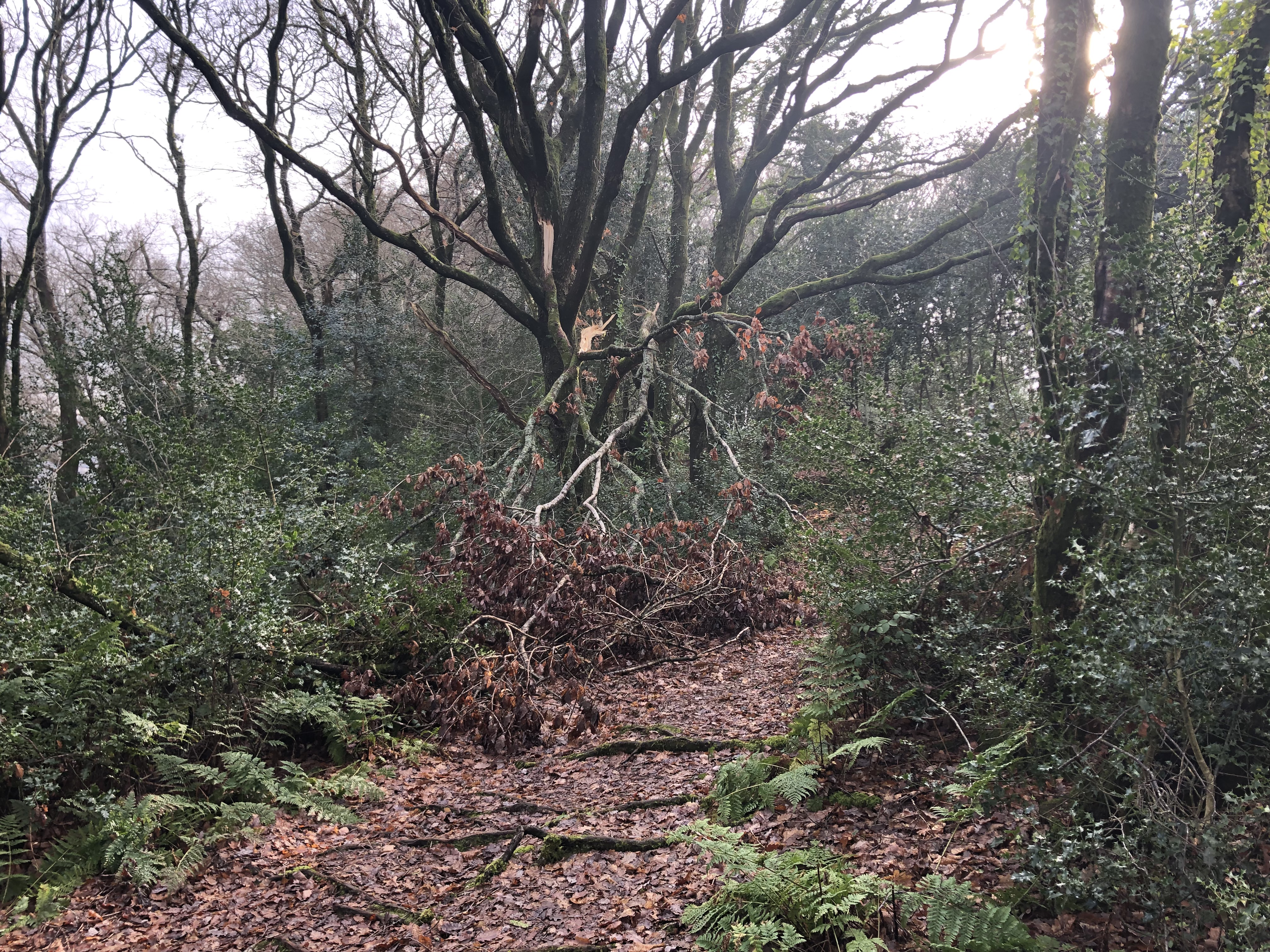
Turn right, south, and follow this bridle path through the woods. The large Beech trees along the path are described as some of the “Great Trees of East Devon” On reaching a T junction turn right, west and follow the track to the road and at the road turn left, south, until you see a footpath sign on your right.
Turn right, south-west, along the footpath until you reach another road.Turn left, south-east.

The East Devon Way comes in from the right but follows the road down the hill, look out for a footpath sign on the left. The path goes up the hill, north-west, and through a gate then turns right along the field boundary, continue through a gate into the wood and along the well walked track. At a T junction turn left, north, and walk up the hill past a house on the right onto a narrow lane. Carry straight on up the hill bearing right at the junction, look out for a footpath sign on the left, turn left, west, and walk up the path until you come out onto a wider forest track. Turn right, north, and carry on along the track retracing your steps back to the car park.

There are a number of routes across the Trinity Hill Reserve, take a different route back to the car park. There are good views of the Cannington Viaduct and to Uplyme.

Map: Explorer 116 Lyme Regis and Bridport

The Lyme Regis branch line

The Lyme Regis branch line  connected  Lyme Regis with the mainline railway at Axminster, running through picturesque rural countryside on the Dorset – Devon border.

It opened in 1903 and on summer weekends it was very busy with high passenger numbers with through carriages from London on many services. The line achieved high levels of interest among railway enthusiasts in later years because a veteran type of steam engine, the Adams ‘Radial’ Tank 4-4-2T locomotive; this engine class survived long after the type had been superseded in its original area of use in the London suburbs.

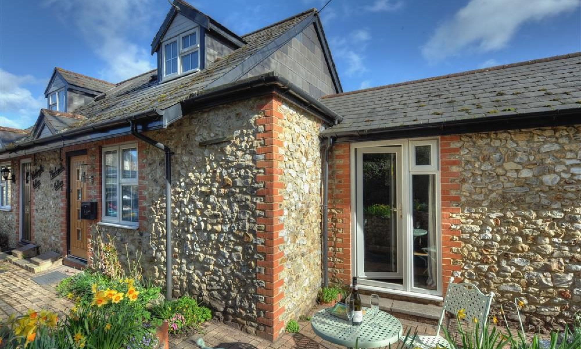
The line was 6 miles long, starting from Axminster station, at the level of the River Axe there, it climbed, running broadly southerly to Combpyne, where the only intermediate station was sited. Turning broadly east, it descended to Lyme Regis, crossing an arm of the River Lim on Cannington Viaduct, a short walk from the Blacksmith’s Cottage and passing through Uplyme through what is now Barnes Meadow.

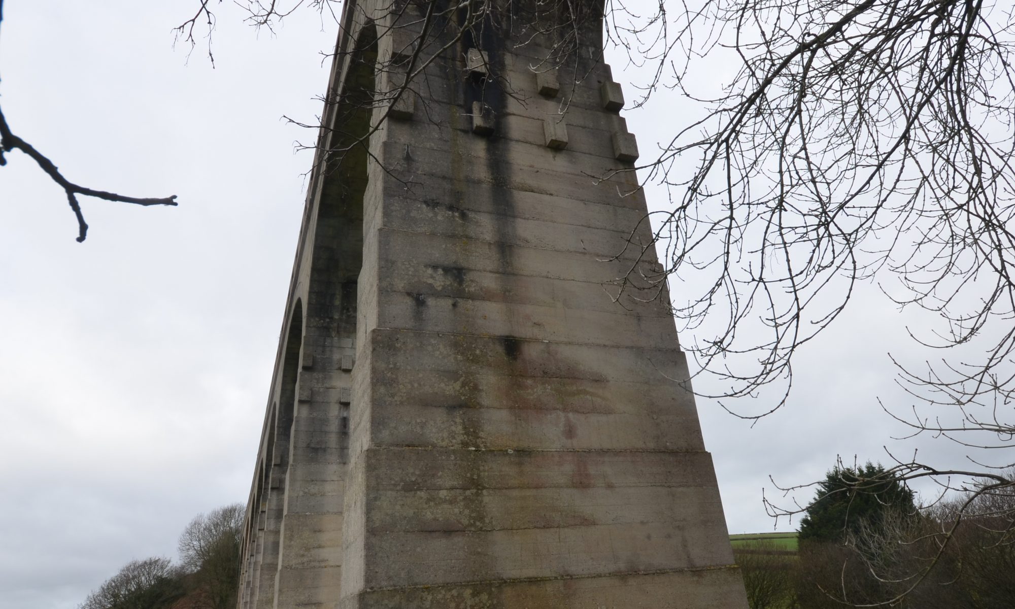
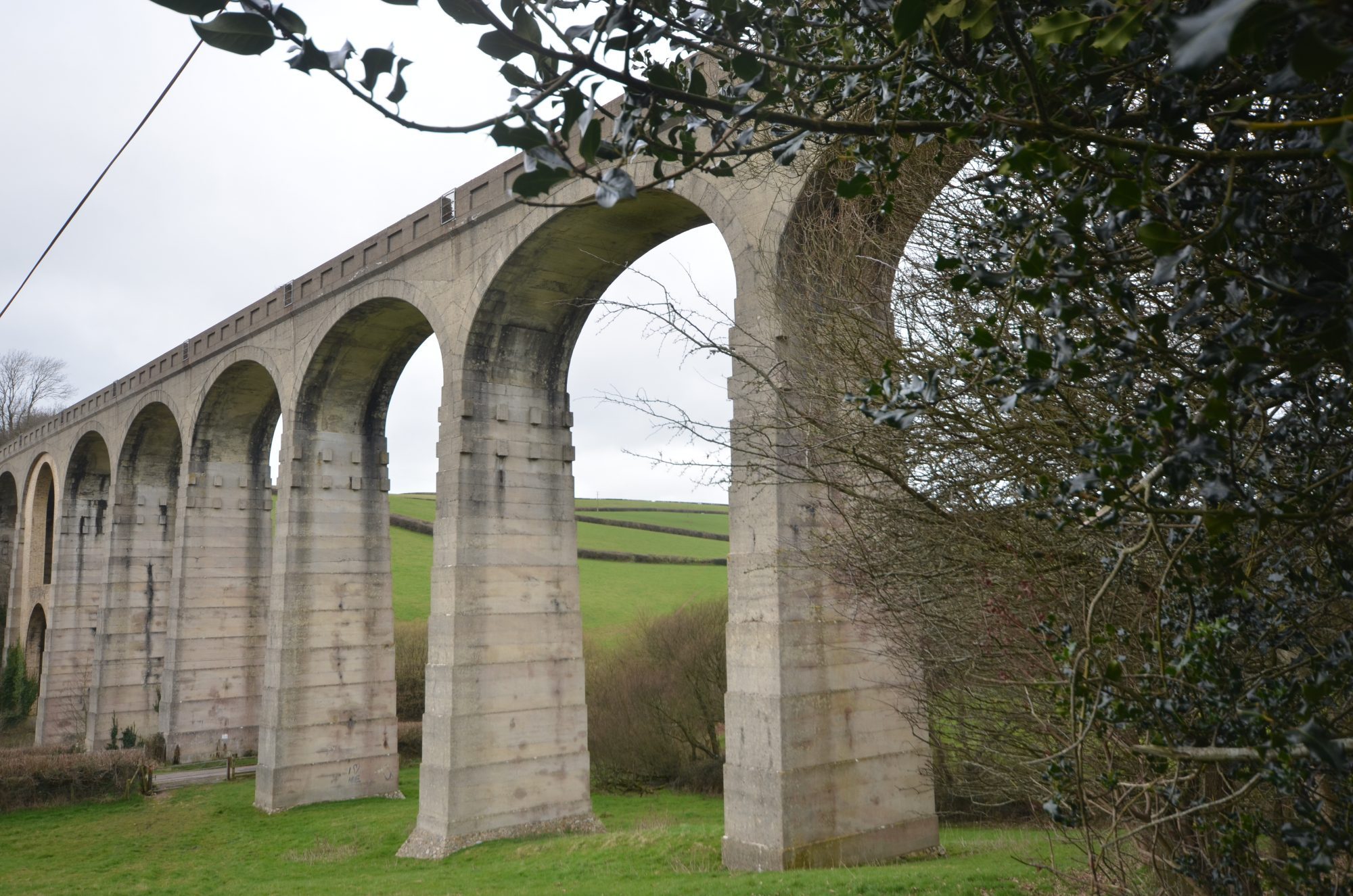
Cannington Viaduct is a Grade II listed structure and is the only significant structure on the branch,  203 yards long with ten elliptical arches of 50 feet span, 92 feet high. It was constructed of mass concrete with pre-cast concrete voussoirs; it was one of the earliest major structures of the type in England, and the second highest of the type.  Cement was brought to the Cobb harbour at Lyme Regis, and to the construction site by a 1,000 foot cableway. Crushed flint from locally excavated material was used for the aggregate.

During its construction the west abutment and the adjacent pier slipped during the process of tipping fill material behind it, and it and the first pier settled significantly, distorting the first arch, delaying the opening. The displaced foundations were stabilised and the third arch was strengthened with a wall the distorted first arch was given a brick arch ring.  You can still see these.

The gradient was too steep to permit a station in Uplyme. The station at Lyme Regis was on the north of the town at what is now the Health Centre and Jewsons, because immediately beyond t the land falls steeply towards the town.
Passenger use declined in the years following the Second World War, and only summer weekends remained busy. The line was scheduled for closure, and this was implemented on 29 November 1965.

The main station building at Lyme Regis was wooden, and after closure it was dismantled and re-erected at Alresford station, on the Watercress Line in Hampshire. The imposing Cannington Viaduct is a Grade II listed structure.

There is a proposal to build a narrow gauge line between Axminster and a park and ride on the coastal road to Seaton, part of which would use part of the trackbed of the former Lyme Regis branch.

Unlike some of the closed lines, the land along much of it has now become farmland and even part of peoples gardens, which means it will never be reestablished as a walking or cycling route. There are a number of choices of walks around the Cannington Viaduct from the Blacksmith’s Cottage including quiet lanes and footpaths. In the winter it may be best to limit the footpaths and this route suggestion includes just two fields to cross.

Prescott Pinetum

Visiting a Bluebell Wood is one of the UK’s great seasonal highlights, Prescott Pinetum Uplyme is a must visit this spring.

Walk back up Venlake Lane and cross Cannington Lane into Woodhouse Lane. Head up the hill from the cross roads and after about 300m you’ll see a footpath marker on your right in Woodhouse Fields.

There is a sign almost immediately opposite it on the left for the Woodland Trust. The road then turns into a footpath that heads up in to the woods.

The Prescott Pinetum, (also known as either Uplyme or Woodhouse Pinetum), sits on a north-east facing slope, and is visible from Uplyme. Hosting a variety of majestic oak, beech and conifer species, overlooking Lyme Regis and the Jurassic Coast, the Pinetum is thought to have been established between 1840 and 1860s, and features giant Wellingtonia’s, Grand fir, Noble Fir, Blue Atlas Cedar, Japanese Red Cedar, Prince Albert’s Yew and Coast Redwoods. Many of the conifers that remain are now magnificent specimen trees, including one UK champion. This site’s diversity of species has earned it a Tree Preservation Order. A single path meanders through the woodland. Look out for the remains of a woodman’s cottage.

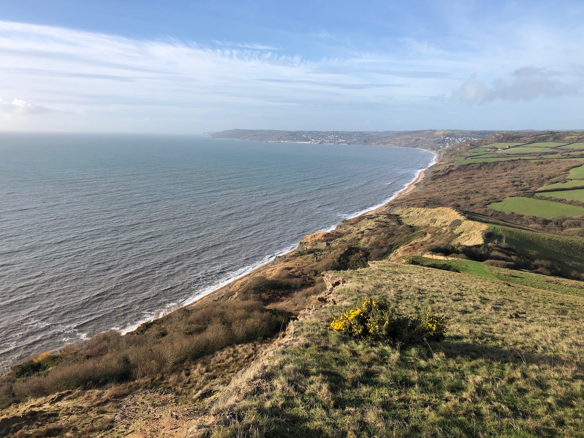
Follow the path and then turn right to follow the path back on yourself and down to the lane again. Turn left and follow Dipper Trail out onto the road and then turn left again. The road climbs and at the junction turn left again and follow Seaview Road through the woods again. At the end of the road turn right and back down the Woodhouse Lane and home.


South West Coast Path – Golden Cap

A walk through the woods on Langdon Hill, visiting the medieval hamlet of Stanton St Gabriel, now a handful of refurbished cottages and a ruined thirteenth century chapel.

The landscape spread out around Langdon Hill is criss-crossed with ancient trackways as well as fields and hedgerows from medieval times, and the traditional farming methods used on National Trust land encourage a profusion of wildlife.

Children will love the freedom of the open ground and the old lanes, as well as the forest paths and the ancient ruins.

Route Description
From the car park in Seatown, take the road northwards, towards Chideock, and turn left onto the South West Coast Path, following it across the field, through the copse, and steeply uphill through the open heathland on the seaward side of the next field.

Emerging from the scrub onto open ground, fork left and carry on along the Coast Path as it crosses to the left-hand corner at the top of this open ground and starts climbing towards Golden Cap.

However, if you want to avoid the steep ascent and descent going over Golden Cap, instead of taking this left-hand path you can fork right here, to walk along the hedge, turning left onto the lane beyond at 8 and then taking the path around Langdon Hill at 7 for a shorter stroll.

If you are opting for the longer walk and carrying on along the Coast Path towards the top of Golden Cap, the path goes through the gap in the hedge and curves around the back of the hill before it climbs to the summit, and another path leads back to Langdon Hill. Again stay with the Coast Path as it summits and then zigzags down towards the valley.

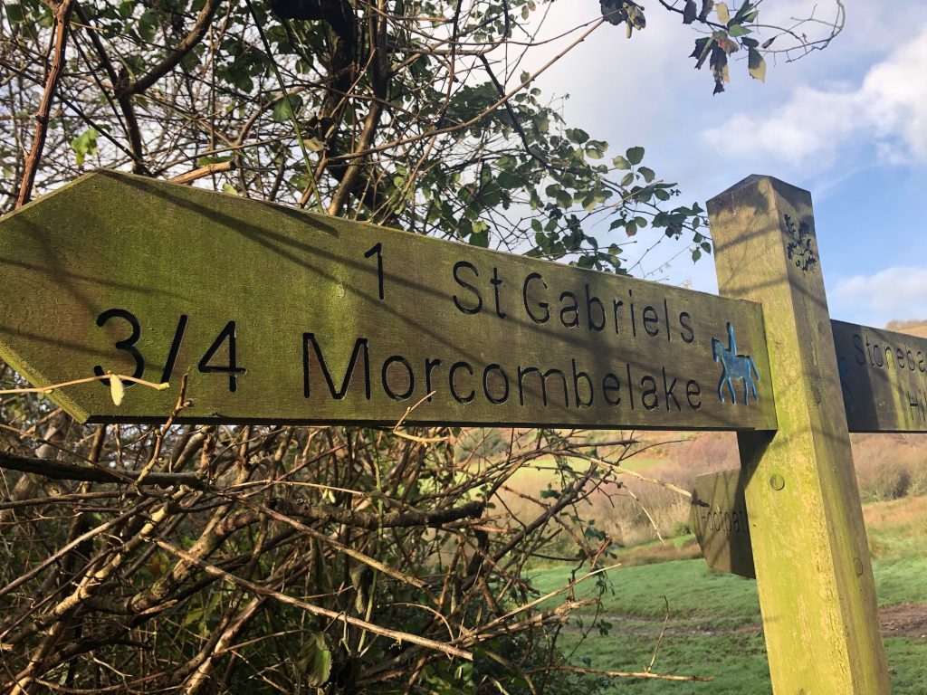
When the path forks at the end of this field, take the right-hand path and follow it downhill towards St Gabriel’s Wood.

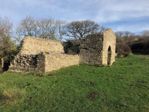
The ruins in front of you are all that remains of St Gabriel’s Chapel, first recorded in 1240.

The walk continues up the track to the right from here; but take the time to stroll down to Stanton St Gabriel, just a stone’s throw to your left, where the handful of cottages, refurbished as holiday cottages by the National Trust, are all that now remains of the medieval hamlet.

There has been a settlement here since Saxon times, although the hamlet was not formally recorded until 1086.

At that time the surrounding landscape would have been divided into a number of smallholdings, and today the area is criss-crossed with the ancient pathways, hedges and fields from those times, as well as from later centuries.

The main house of the settlement is St Gabriel’s House, thought to have been the mediaeval manor house of Stanton. Although much of the brickwork is eighteenth century, the stone walling is medieval.

In 1650 there were 23 families here, who asked for St Gabriel’s Chapel to be made a parish church, although nobody knows whether this happened. Certainly, by the end of the eighteenth century the chapel had fallen into disrepair, following the decline of the hamlet’s population, as most of the agricultural workers left to go to Bridport and work in the rope-making industry.

The Anchor Inn in Seatown is said to have been the stamping ground of a band of nineteenth century smugglers known as “The Chideock Gang”.

From the hamlet walk back up the track past the chapel and carry on along it, turning right again just after it goes through into the next field, and from here walk uphill along the hedge, turning left at the top to follow the path to the gate at the far end.

On the Golden Cap Estate, as in its properties elsewhere, the National Trust has encouraged the use of traditional farming methods, and this helps wildlife to flourish. In the tiny streams there are amphibians like frogs, toads and newts, while on land their reptile cousins include adders and the common lizard. In the air above the streams you may catch a glimpse of a dragonfly, while the many species of wildflowers like primroses, bluebells and orchids attract butterflies and other insects. Birds in the area include the yellowhammers which bob and dip between the thorn bushes, as well as buzzards hunting overhead, and massive ravens with glossy black plumage.
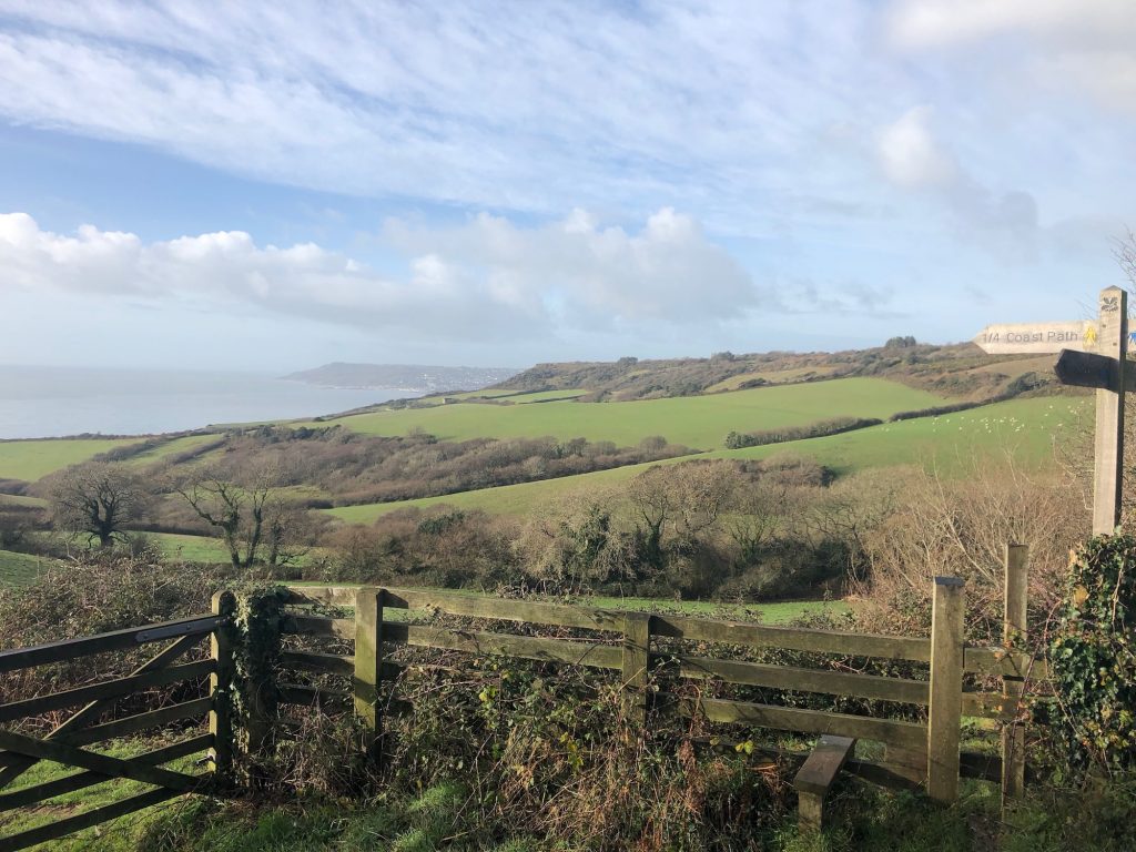
Going through the gate into the next field, carry straight on ahead to the gate at the top, where the path skirts the southern end of the woodland on Langdon Hill.

Reaching the gate, you can either turn left before it, onto the path around the outside perimeter of the wood, or you can go through the gate and turn left on the path into the trees, turning left again when you come to the track leading around the western side of the wood. If you choose the path outside the woodland, follow it all the way around the hill, ignoring the path downhill to the left en route, and join the track as it begins to curve around the far end of the wood.
Stay on this track right the way around the hill, ignoring the turning to the left through the car park, and continue to the southern end of the wood.

When you come to the path on your left as the track turns westwards again, turn left onto it and follow it down to where it meets the green lane beyond. Carry on along this lane (Pettycrate Lane), ignoring the path to the right soon afterwards.

After a while, Langdon Lane joins from the left. Go on past this, until the next fork, a little way beyond. Leave Pettycrate Lane here as it heads towards Chideock, and bear right to follow this lane instead as it starts to drop downhill towards Seatown.

Reaching Sea Hill Lane, just beyond Seahill House, turn right and go back down towards Seatown, to return to the car park on your left.

Walk to Eype and Eype Down

This is a varied and scenic walk including sea and country with good views, some woodland and the possibility of refreshments both during and at the end of the walk. One quite steep hill through the woodland, a couple of more gentle rises. The woodland and Eype Down have the bonus of a spectacular show of bluebells in the spring.

Directions

From the Cottage go down into Lyme Regis then take the Charmouth road to roundabout and take 3rd exit (signed Dorchester). Go through Morecombelake and Chideock and shortly after the 1st turning on the left to Bridport take the right turn marked Eype and immediately turn left and into the car park.

The Walk

Walk back to the car park entrance and turn left along road. Follow road round to the left and just past the sign “Lower Eype to the beach”, climb steps on the right and into a field (footpath sign).

Follow the right-hand hedge, with the cross on the top of church visible ahead, over a stile in the corner of the field. Take the road straight ahead (signed Eype) uphill past St.Peters Church (now an arts centre). Just past the church go over a stile on the left and follow the path. At the end of the path turn right and follow road 50 yards downhill before turning left at the Parish Council noticeboard (footpath sign).

Follow the path to the left of the white house ahead and when you emerge on to a road, turn right and after about 40 yards take the holiday park permissive footpath to beach on the left (signed). Follow this path down steps on right and over bridge on to beach.

Leaving the beach, climb the steps on your left and follow path until you meet a road. Go straight ahead passing Eype House Tea Gardens on left. When the road turns right at the bottom of the hill, turn left into track to the left of house (follow National Trust sign to Down House Farm). At end of the track go over stile and take the footpath slightly right up field through a gate and straight ahead through another gate. Cross the next field aiming slightly to the right of the large stone house at the edge of woods ahead, through another gate and follow path to gate and stile in left-hand corner of field ahead. Go through and turn left.

Pass, or stop at, Down House Farm Cafe on right. If not stopping, carry on up the track ahead and take the 1st turning on right (signed Eype Down) and immediately turn left towards a gate ahead. Just before the gate turn right up steps and into woods to a gate with good view.

Follow path uphill from gate, past a footpath marker and just past the top of the hill take path to left. Follow this path and fork left and shortly fork right and keep right on the now wider path.

Keep following this wide path around the side of the hill, down and round a left-hand bend and then round to the right, follow down keeping to right towards the A35. Just before the road, turn right on to a country lane, with Eype Down to the right.

Follow this road, ignoring any side turns for 20/25 minutes until you arrive at a T junction. Turn left here and go 100 yards back to the car park on the right, where you can usually get food and drink from the kiosk at the centre (toilets also available here).

Walk – Cannington Viaduct

For those interested in railways or industrial archaeology the Cannington Viaduct is one of the largest viaducts in East Devon and it heralds from a time when railway construction was at its height. The Lyme Regis branch line was just over 6 miles long from the main line at Axminster to Lyme Regis and was known as the Bluebell Line.

It was a ‘Light Railway’ built to slightly lower specifications than the main line and at its height there were up to nine trains a day between Axminster and Lyme Regis.

When the railway closed Lyme Regis station was dismantled and re-erected on the Watercress Line near Winchester in Hampshire. Lyme Regis station was about 0.63 miles (1km) from the centre of the town and the site is now occupied by Travis Perkins builders merchants.

Directions

From the Cottage turn left and walk down to the Village Hall.

Go through the gate at the back right hand side of the Village Hall car park into a field (passing a finger post grid referenced SY 324934). Walk in front of the cricket pavilion,  cross a bridge and go through a gate.

Continue ahead up a field bearing left around a line of trees. Follow the top edge of the field with the trees on your right and go through a gate to reach a tarmac track where you turn left to reach the road at Wadley Hill.

Cross this junction and continue ahead (along Cannington Lane) passing a 30mph speed restriction sign and bear left at the next junction with the viaduct in view in front of you.

After 680 yards (625m) you go under the Cannington Viaduct.

The 203 yards long viaduct was part of the Axminster to Lyme Regis light railway which opened in 1903 and was the first viaduct in Britain to be made from concrete. It has 10 elliptical arches and is about 92 feet high.

Soon after it was opened the western end began to subside and an extra ‘fill in’ arch was added. The branch line closed in 1965 and there is no public access to the viaduct itself.

About 110 yards (100m) after the viaduct go left through a field gate just before Shapwick House. You follow a public bridleway across a field with great views of the Cannington viaduct.

The term Shapwick means ‘sheep farm’ and several places around here bear the name. Just before the viaduct on the right (as you walk along) is the site of Holcombe Roman villa which was first excavated in the 19th century.  Beneath the villa was a late Iron Age settlement where a rare mirror (AD 30 – 70) was discovered and it is now in the British Museum. The site has been grassed over and there is nothing to see today.

The bridleway goes in front of the large house ahead and joins a largely concrete track. Almost at the end of the track you reach Cuckoo Hill Cottages with a stile on your left.

Cross the stile and bear right heading down across fields, crossing two more stiles and the track of the dismantled railway. You reach a gated footbridge into the Hook Farm campsite.

Walk through the campsite to reach the road (Gore Lane) where you turn left and descend to reach the Talbot Arms. Here go right to reach Blacksmith’s Cottage.

Walk – Lyme to Uplyme

This is a delightful short walk which begins at Lyme Regis in Dorset and ends at Uplyme in Devon. The walk starts at the historic resort of Lyme Regis and follows alongside the River Lym (or Lim) to reach the village of Uplyme.
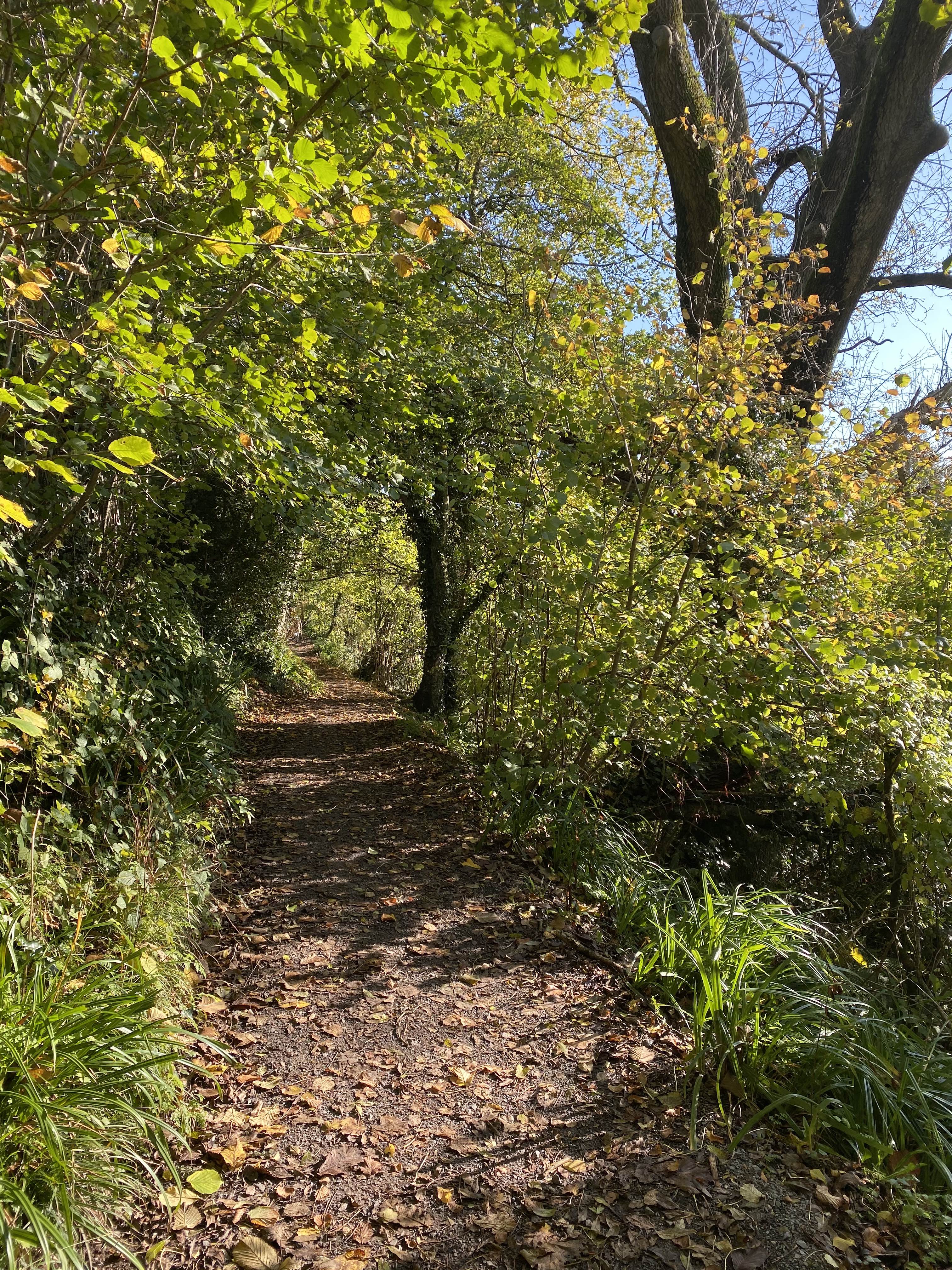
Much of this walk is on firm surfaces so it makes a good all year round walk. Several sections are part of the East Devon Way – a 40mile (60 km) inland footpath from Exmouth to Lyme Regis marked by a foxglove logo and signed by pink arrows.

Directions

From Cobb Gate at Lyme Regis there are two routes to the Town Mill:

a) Go through Broad Street (pay & display) car park and descend the steps on the right at the back of the car park to reach the Town Mill and Craft Centre.

b) Walk along Coombe Street, opposite the Museum and Guildhall, signed ‘Riverside Walk Town Mill’. After 120 yards (110m) go sharp left signed ‘Riverside Walk Town Mill’ to reach the Town Mill and Craft Centre

The Town Mill dates from the 14th century and was used as a wheat mill until the 1920s when it closed. After being a Council yard and used for storage (including deck chairs) the mill fell into a derelict state until it was restored and reopened to mill grain in 2001. Grain is still milled here and three different kinds of flour are on sale inside. Surrounding the mill are other buildings used as a Craft Centre and cafe.

Small pond along the path

Turn left between the end of the mill building and ‘Old Lynch Mill Lane’ (house) along a narrow walled path. At the end go right. Walk along with the mill leat on your right and the river on your left.

At the road continue ahead up Mill Green (a road) and after a short distance, you join the riverside path again.

The River Lim path

Cross the river to reach a road with Windsor Terrace opposite. Continue along Windsor Terrace with the river on your left to reach a stone arch bridge and fingerpost at Horne Bridge (named after the Horne Tavern which once stood near here). Continue ahead signed ‘Uplyme & East Devon Way ‘(part of the Wessex Ridgeway).

Continue ahead with the river on your left crossing a stone footbridge to reach a field. Go through the field aiming for the fingerpost and gate ahead.

After the gate cross a wooden footbridge and go left at a fingerpost (grid referenced SY 333933) at ‘The Old Mill’ and signed ‘Uplyme ½ ‘.

From the 14th to 18th century there were lots of mills along the river with many of them being textile mills producing good-quality cloth. Dying and weaving was also carried out in the village and it is said that cloth was produced here for Queen Elizabeth I’s soldiers.

One of the remaining mills is the Old Mill here which was built in the 18th century as a textile mill driven by an overshot water wheel.

Walk in front of the Old Mill and then along a raised path above the river. You reach a track (Mill Lane) where you go left passing Honeysuckle Cottage to reach a road (where the fingerpost is at SY 329934).

Cross the road and continue ahead (signed ‘Uplyme ¼’).

At the next road (Church Street) take the path to the left of Church Cottage unless you wish to visit the church where you turn right and climb the hill to the church.

The Church

The original church was medieval but it was largely restored in 1876 and has a very attractive wagon roof. On the right from the entrance, there is a fine stained glass window dedicated to the memory of Wilfred Parke, a very early aviator, who was killed in 1912 ‘by the fall of his aeroplane’ (the word “crash” had not yet been invented).

The yew tree is the oldest living inhabitant of Uplyme being over a thousand years old.

The path on the left of Church Cottage reaches the car park of the Talbot Arms and the bus stop with the Village Hall opposite.

The Talbot Arms is named after a local landowner Sir John Talbot who was an admiral and Lord of the Manor from the early part of the 19th century.